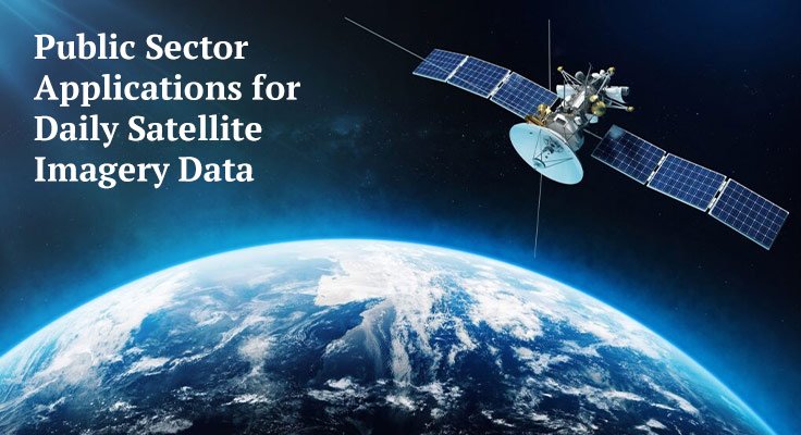
High-resolution satellite imagery is a valuable resource. Several government functions cannot be performed without its real-time data. Its applications range from and significantly impact various industries, from environmental monitoring to urban planning. This post examines the vital roles that these images play in public administration.
Environmental Monitoring
The most impactful of these uses is tracking environmental changes using satellite imagery. Government satellite imagery is used to track pattern changes regarding deforestation, biodiversity change, and natural disaster events. With this information, responsive authorities can act accordingly using threat response visualization and reconnaissance of the images analyzed. For example, when illegal logging activities can be detected, intervention and enforcement of environmental implementation can occur more swiftly.
Disaster Management
Natural disasters require instant turnaround times to be effective. Real-time satellite images are critical in disaster management. From hurricanes and floods to earthquakes, these images help show the scope of damage to affected regions. Using this data, emergency services can prioritize their efforts on the most severely affected areas.
This data is incredibly beneficial in rescue operations. It allows the identification of inaccessible areas, which guides teams to all regions requiring immediate assistance. Moreover, damage assessments from satellite images assist disaster recovery as well, at least on an operational level. This data helps us allocate resources and plan for reconstruction.
Urban Planning
As populations grow, we need to find balance in urban development. Satellite imagery helps governments plan infrastructure projects. Officials can figure out where to build roads, schools, and hospitals. These images also help track urban spread. As cities grow in size, rapid urbanization places significant strain on infrastructure systems. Satellite data allows planners to discover trends in urbanization, which results in sustainable growth.
Agricultural Management
Satellite imagery is an essential tool for agriculture. Governments use these images to evaluate crop health and soil conditions and estimate yields in a certain geographical area. It helps to manage food resources and food security.
They also support pest control efforts by helping authorities find early signs of a pest infestation. This facilitates preventive action and averts large-scale harm to crops. Agriculture also benefits from monitoring irrigation systems and water bodies to enhance resource use efficiency.
Infrastructure and Transport
Infrastructure cannot be created and left as it is. Satellite imagery helps in monitoring transportation networks, such as roads, railways, and airports. Governments can monitor the state of these infrastructures and iron out maintenance and refurbishment schedules.
Satellite data helps in traffic management, too. By analyzing traffic patterns, authorities can take appropriate steps to minimize congestion and move traffic effectively. This increases access and connectivity in public transport networks.
Border and Security Management
Indeed, national security is the top concern of any government. High-resolution satellite images are an important tool in tracking border enforcement and security. These images help in detecting illegal crossings and threats by providing real-time data.
Satellite imagery also offers solutions for maritime security. Authorities can detect illegal fishing activities and take action before damage can be inflicted. This data underpins global cooperation to ensure the safety and security of borders.
Wildlife Conservation
Conserving animal and natural habitats is the responsibility of government authorities at a global level. Movement of animals, critical habitats, and biodiversity threats can be monitored using satellite imagery, thereby assisting conservation efforts and the enforcement of protection measures.
Land use changes can threaten wildlife, but if the changes are being monitored, authorities can take action or mitigate risks. Satellite data helps in the creation and management of protected areas, ensuring ecosystems remain intact and healthy.
Conclusion
There are a myriad of cases of effective public sector use of real-time satellite imagery. These images are an invaluable resource when it comes to data-driven decision-making in various sectors. These include environmental protection, urban planning, infrastructure and transport, and wildlife conservation. The use of satellite images for public administration is becoming more pronounced as technology advances. By utilizing this resource, governments can tackle challenges and enhance the quality of life for citizens.
Also Read: Zachary Bogorad, FDA Inspector: Audit Reports and Compliance Reviews