The USA Leaders
Honolulu, March 10, 2026
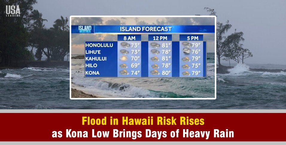
Governor Josh Green issued an emergency proclamation on Tuesday as a powerful Kona low moves across Hawaii, raising concerns about a prolonged flood in Hawaii event this week.
Forecasters warn the slow-moving storm could bring several days of heavy rain, damaging winds, and strong thunderstorms across the islands.
Authorities say the system may trigger flash flooding, landslides, and major travel disruptions through at least Saturday.
State officials moved into high alert Tuesday as the storm approached the islands. Emergency teams are prepared for potential road closures, airport delays, and infrastructure damage if rainfall intensifies in vulnerable areas.
Why This Storm Could Trigger Flood In Hawaii
Meteorologists say Kona lows are among the most powerful rain-producing systems in Hawaii.
A recent winter storm in the US also caused widespread travel disruptions and emergency responses in several states. Unlike typical trade wind showers, these storms can remain nearly stationary near the islands for several days.
The storm pulls deep tropical moisture from the south toward the islands. When that warm and moist air hits Hawaii’s mountains, it rises and cools.
This process creates heavy rain bands that can persist for long periods.
According to the National Weather Service, this combination of deep moisture and mountainous terrain can quickly lead to flash flooding.
Southeast-facing slopes often receive the highest rainfall totals during Kona storms because moist air is forced upward along the terrain.
Visualizing the Threat
The geography of Hawaii plays a key role in how flooding develops.
Warm moisture flows north from the Pacific Ocean toward the islands. As the air collides with steep volcanic mountains, it rises rapidly. The rising air cools and condenses into heavy rainfall.
Because the storm moves slowly, the same areas may receive repeated rain bands. This can cause streams and drainage systems to overflow quickly, increasing the risk of flash flooding and landslides.
Island by Island Impact
Meteorologists expect the storm to impact each island at different times as it moves across the state.
| Island(s) | Expected Impact Start | Primary Hazards |
| Kauai & Niihau | Tuesday Morning | Flash flooding, heavy rain |
| Oahu | Tuesday Night | Urban flooding, thunderstorms |
| Maui County | Wednesday | High winds, heavy rain |
| Big Island | Wednesday to Thursday | Summit snow, southeast slope flooding |
The storm is forecast to approach Kauai throughout Tuesday. Rainfall may begin as scattered showers before intensifying later in the day.
By Tuesday night, heavier rain is expected to reach Oahu, where urban areas could experience rapid water accumulation if intense rain bands develop.
The system is then forecast to move toward Maui County on Wednesday, bringing additional rainfall and possible thunderstorms.
Rainfall Totals and Flood Risk
Forecast models show the storm could bring 4 to 12 inches of rain (about 10 to 30.5 cm) across the state during the five days.
However, rainfall totals may rise even higher in some areas if slow-moving thunderstorms repeatedly pass over the same locations.
Flood watches have already been issued for Niihau and Kauai beginning Tuesday morning, with another watch scheduled for Oahu starting Tuesday evening.
Officials warn that excessive rainfall could lead to flash flooding, road closures, and landslides in steep terrain.
On the Big Island and Maui, southeast-facing slopes are expected to face the highest flood risk due to terrain-driven rainfall.
Snow and Extreme Winds at High Elevations
While lower elevations prepare for heavy rain, winter weather could develop at higher elevations.
A Winter Storm Watch is in effect for the summits of Mauna Kea and Mauna Loa.
Forecasters say these areas could receive six inches or more of snow (about 15 cm). Winds at the summits may exceed 60 mph (about 97 km/h), creating dangerous travel conditions.
State Agencies Prepare for Possible Disruptions
The Hawaii Department of Transportation placed crews on standby across the islands. Workers cleared drainage systems and prepared equipment for possible road closures.
The emergency proclamation issued by Governor Green allows state agencies to coordinate resources and respond quickly if conditions worsen.
Officials say the storm’s slow movement increases the risk of prolonged impacts across the state.
How Residents Can Prepare
Emergency management officials urge residents to prepare before the heaviest rainfall arrives.
Residents should clear debris from storm drains and drainage areas near homes to reduce localized flooding.
Authorities also recommend preparing an emergency “go bag“ with food, water, medications, important documents, and supplies for pets.
During heavy rain, drivers should never attempt to cross flooded roads or moving water. Even shallow floodwater can sweep away vehicles.
Officials also advise residents to stay alert to weather updates and emergency alerts as the storm develops.
With several days of severe weather expected, forecasters say preparation and awareness will be critical as Hawaii faces the growing threat of a flood in Hawaii event this week.
Neha Shekhawat